The end of Waterhouse Road
Introduction
The photograph on this page of The end of Waterhouse Road by Gerald England as part of the Geograph project.
The Geograph project started in 2005 with the aim of publishing, organising and preserving representative images for every square kilometre of Great Britain, Ireland and the Isle of Man.

There are currently over 7.5m images from over 14,400 individuals and you can help contribute to the project by visiting https://www.geograph.org.uk
The end of Waterhouse Road
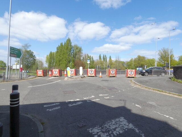
Image: © Gerald England Taken: 27 Apr 2022
Direct access between Hyde Road Image and Waterhouse Road/Woodland Road is no longer possible. Flower planters have been used to block the exits.
Images are licensed for reuse under creativecommons.org/licenses/by-sa/2.0
Image Location
Latitude
53.457943
Longitude
-2.160955