The Robin Hood Way Approaching South Lodge
Introduction
The photograph on this page of The Robin Hood Way Approaching South Lodge by Jonathan Clitheroe as part of the Geograph project.
The Geograph project started in 2005 with the aim of publishing, organising and preserving representative images for every square kilometre of Great Britain, Ireland and the Isle of Man.

There are currently over 7.5m images from over 14,400 individuals and you can help contribute to the project by visiting https://www.geograph.org.uk
The Robin Hood Way Approaching South Lodge
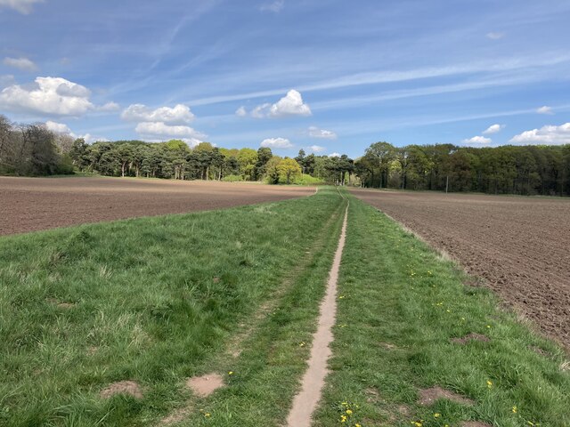
Image: © Jonathan Clitheroe Taken: 30 Apr 2022
Hill Wood can also be seen ahead. This section of the path follows the course of one of several underground tunnels on the estate.
Images are licensed for reuse under creativecommons.org/licenses/by-sa/2.0
Image Location
Latitude
53.271304
Longitude
-1.15096