Former chalk pit, Bury St Edmunds
Introduction
The photograph on this page of Former chalk pit, Bury St Edmunds by Richard Rogerson as part of the Geograph project.
The Geograph project started in 2005 with the aim of publishing, organising and preserving representative images for every square kilometre of Great Britain, Ireland and the Isle of Man.

There are currently over 7.5m images from over 14,400 individuals and you can help contribute to the project by visiting https://www.geograph.org.uk
Former chalk pit, Bury St Edmunds
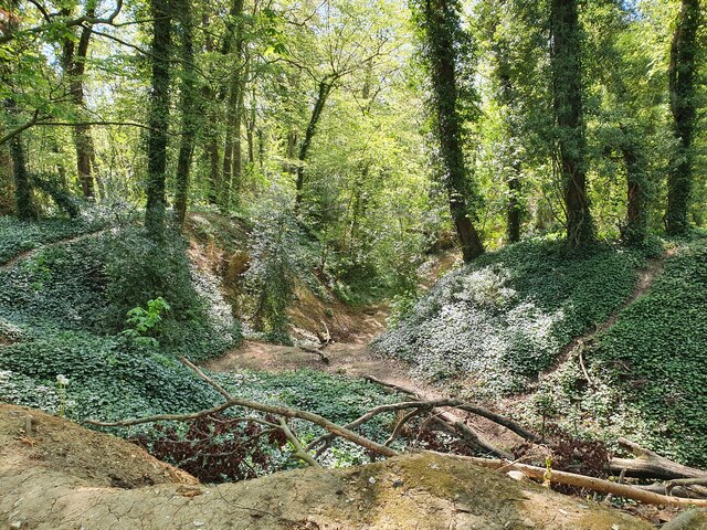
Image: © Richard Rogerson Taken: 30 Apr 2022
There are several pits and mine tunnels. The area is now woodland and the area is a biological Site of Special Scientific Interest due to the tunnels which are used by bats for hibernation [Horringer Court Caves]
Images are licensed for reuse under creativecommons.org/licenses/by-sa/2.0
Image Location
Latitude
52.233407
Longitude
0.687166