Roxburgh village
Introduction
The photograph on this page of Roxburgh village by Jim Barton as part of the Geograph project.
The Geograph project started in 2005 with the aim of publishing, organising and preserving representative images for every square kilometre of Great Britain, Ireland and the Isle of Man.

There are currently over 7.5m images from over 14,400 individuals and you can help contribute to the project by visiting https://www.geograph.org.uk
Roxburgh village
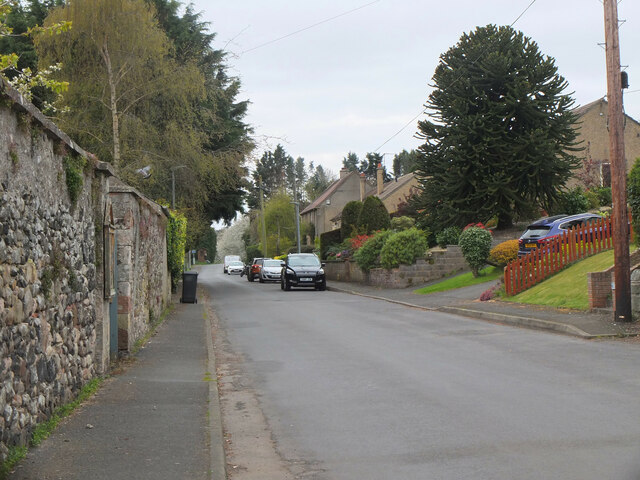
Image: © Jim Barton Taken: 27 Apr 2022
The quiet village of Roxburgh, situated on the west bank of the Teviot south of Kelso. At one time it had a railway station at the junction of the branch line to Jedburgh and the E-W line from Tweedmouth to Newtown St Boswells.
Images are licensed for reuse under creativecommons.org/licenses/by-sa/2.0
Image Location
Latitude
55.568221
Longitude
-2.479652