Cropfield by Furnace Grange near Trescott, Staffordshire
Introduction
The photograph on this page of Cropfield by Furnace Grange near Trescott, Staffordshire by Roger Kidd as part of the Geograph project.
The Geograph project started in 2005 with the aim of publishing, organising and preserving representative images for every square kilometre of Great Britain, Ireland and the Isle of Man.

There are currently over 7.5m images from over 14,400 individuals and you can help contribute to the project by visiting https://www.geograph.org.uk
Cropfield by Furnace Grange near Trescott, Staffordshire
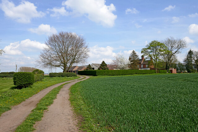
Image: © Roger Kidd Taken: 16 Apr 2022
The farm track is also a public footpath between Seisdon and Trescott, used by the Staffordshire Way long distance path. https://ldwa.org.uk/ldp/members/show_path.php?path_name=Staffordshire+Way https://en.wikipedia.org/wiki/Staffordshire_Way
Images are licensed for reuse under creativecommons.org/licenses/by-sa/2.0
Image Location
Latitude
52.565743
Longitude
-2.230986