Horseshoe Lake Safe Swim Zone
Introduction
The photograph on this page of Horseshoe Lake Safe Swim Zone by Des Blenkinsopp as part of the Geograph project.
The Geograph project started in 2005 with the aim of publishing, organising and preserving representative images for every square kilometre of Great Britain, Ireland and the Isle of Man.

There are currently over 7.5m images from over 14,400 individuals and you can help contribute to the project by visiting https://www.geograph.org.uk
Horseshoe Lake Safe Swim Zone
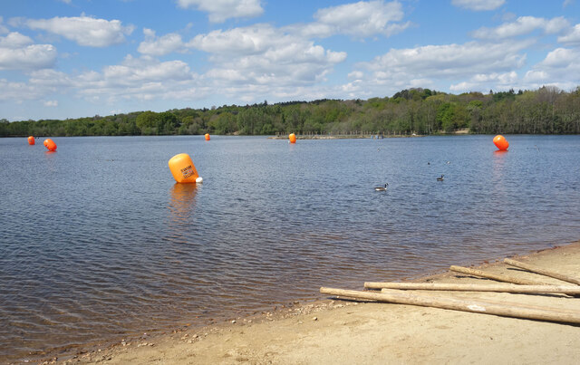
Image: © Des Blenkinsopp Taken: 26 Apr 2022
The orange floats mark the recommended safe area for swimming. This is where there are usually people and rescue boats around, but other parts of the lake are more remote and someone in difficulty might not be noticed. Plus, the water isn't that easy to get to around the rest of the shoreline.
Images are licensed for reuse under creativecommons.org/licenses/by-sa/2.0
Image Location


Leaflet Map data © OpenStreetMap
Latitude
51.352712
Longitude
-0.825148