The new Thane Road
Introduction
The photograph on this page of The new Thane Road by Alan Murray-Rust as part of the Geograph project.
The Geograph project started in 2005 with the aim of publishing, organising and preserving representative images for every square kilometre of Great Britain, Ireland and the Isle of Man.

There are currently over 7.5m images from over 14,400 individuals and you can help contribute to the project by visiting https://www.geograph.org.uk
The new Thane Road
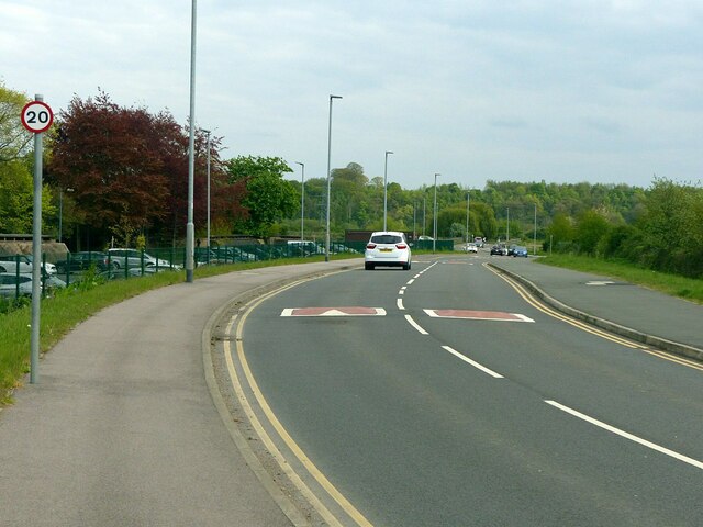
Image: © Alan Murray-Rust Taken: 26 Apr 2022
Created through the southern part of the Boots site vacated around 2015, it forms a new through link between Clifton Bridge North roundabout and the Beeston area. This section uses land formerly occupied by Boots staff car parking, and the footways provide a replacement for the northern section of the footpath between the Beeston Canal and Humber Road https://www.geograph.org.uk/photo/1576293 .
Images are licensed for reuse under creativecommons.org/licenses/by-sa/2.0
Image Location
Latitude
52.923094
Longitude
-1.194823