Pond sluice
Introduction
The photograph on this page of Pond sluice by Richard Sutcliffe as part of the Geograph project.
The Geograph project started in 2005 with the aim of publishing, organising and preserving representative images for every square kilometre of Great Britain, Ireland and the Isle of Man.

There are currently over 7.5m images from over 14,400 individuals and you can help contribute to the project by visiting https://www.geograph.org.uk
Pond sluice
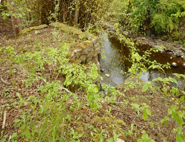
Image: © Richard Sutcliffe Taken: 27 Apr 2022
The stonework is part of the sluice that allows the water level of the pond beside Milngavie Community Library & Education Centre to be lowered. The water passes under the path and passes into the Allander Water, below. See Image
Images are licensed for reuse under creativecommons.org/licenses/by-sa/2.0
Image Location
Latitude
55.943968
Longitude
-4.321862