Redcliffe Square, West Brompton
Introduction
The photograph on this page of Redcliffe Square, West Brompton by Stephen McKay as part of the Geograph project.
The Geograph project started in 2005 with the aim of publishing, organising and preserving representative images for every square kilometre of Great Britain, Ireland and the Isle of Man.

There are currently over 7.5m images from over 14,400 individuals and you can help contribute to the project by visiting https://www.geograph.org.uk
Redcliffe Square, West Brompton
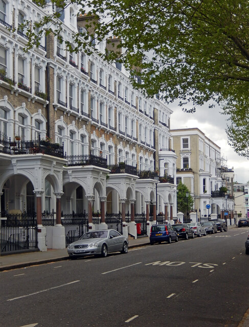
Image: © Stephen McKay Taken: 22 Apr 2022
Redcliffe Square was built in the 1860s on former farmland as part of the Gunter estate. The name was chosen by the surveyor, George Godwin, who had connections with St Mary Redcliffe church in Bristol.
Images are licensed for reuse under creativecommons.org/licenses/by-sa/2.0
Image Location
Latitude
51.487411
Longitude
-0.189241