Former mill lade, Milton, Ross And Cromarty
Introduction
The photograph on this page of Former mill lade, Milton, Ross And Cromarty by Claire Pegrum as part of the Geograph project.
The Geograph project started in 2005 with the aim of publishing, organising and preserving representative images for every square kilometre of Great Britain, Ireland and the Isle of Man.

There are currently over 7.5m images from over 14,400 individuals and you can help contribute to the project by visiting https://www.geograph.org.uk
Former mill lade, Milton, Ross And Cromarty
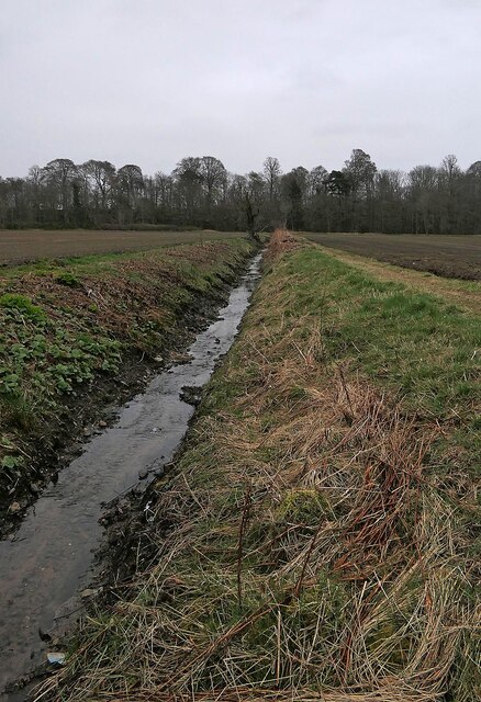
Image: © Claire Pegrum Taken: 13 Apr 2022
Water for a corn mill at Milton was supplied via a lade diverted from the Balnagown River. At this point water had passed through the mill and was returning to the river which runs left to right in the trees. It is now labelled as a drain on larger scale Ordnance Survey maps.
Images are licensed for reuse under creativecommons.org/licenses/by-sa/2.0
Image Location
Latitude
57.739891
Longitude
-4.069732