Tagged information board
Introduction
The photograph on this page of Tagged information board by Eirian Evans as part of the Geograph project.
The Geograph project started in 2005 with the aim of publishing, organising and preserving representative images for every square kilometre of Great Britain, Ireland and the Isle of Man.

There are currently over 7.5m images from over 14,400 individuals and you can help contribute to the project by visiting https://www.geograph.org.uk
Tagged information board
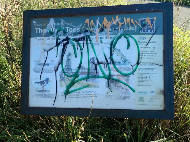
Image: © Eirian Evans Taken: 16 Sep 2021
A Wildlife Trust information panel on the Teesdale Way near a wild flower meadow.
Images are licensed for reuse under creativecommons.org/licenses/by-sa/2.0
Image Location
Latitude
54.569394
Longitude
-1.265896