Public footpath sign for a stretch of path at the edge of South Cornelly
Introduction
The photograph on this page of Public footpath sign for a stretch of path at the edge of South Cornelly by eswales as part of the Geograph project.
The Geograph project started in 2005 with the aim of publishing, organising and preserving representative images for every square kilometre of Great Britain, Ireland and the Isle of Man.

There are currently over 7.5m images from over 14,400 individuals and you can help contribute to the project by visiting https://www.geograph.org.uk
Public footpath sign for a stretch of path at the edge of South Cornelly
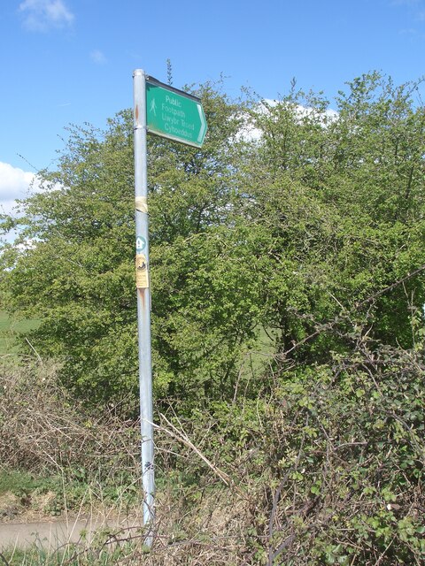
Image: © eswales Taken: 1 Apr 2022
A public footpath sign at the southern end of a stretch of path which runs close to parts of the A4229 and B4283. The path is not marked at all on the Ordnance Survey’s 1:50 000 map. It is marked on the 1:25 000 although not as a public footpath. Rather, it appears as a fenced ‘other road, drive or track’.
Images are licensed for reuse under creativecommons.org/licenses/by-sa/2.0
Image Location
Latitude
51.51146
Longitude
-3.705692