West Bridgford: Carnarvon Road
Introduction
The photograph on this page of West Bridgford: Carnarvon Road by John Sutton as part of the Geograph project.
The Geograph project started in 2005 with the aim of publishing, organising and preserving representative images for every square kilometre of Great Britain, Ireland and the Isle of Man.

There are currently over 7.5m images from over 14,400 individuals and you can help contribute to the project by visiting https://www.geograph.org.uk
West Bridgford: Carnarvon Road
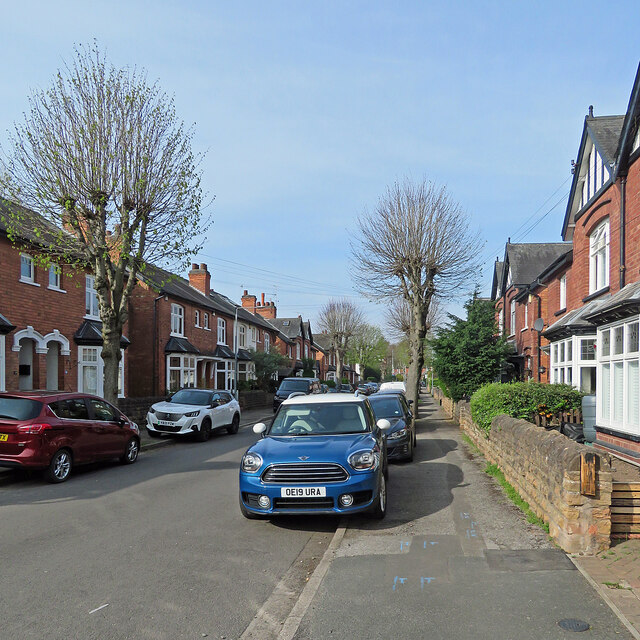
Image: © John Sutton Taken: 17 Apr 2022
Looking towards Melton Road on the morning of Easter Sunday. This was one of many roads laid out as Bridgford expanded from village to populous suburb in the last years of the 19th century and the first decade of the twentieth - and in those days the anglicised spelling of Caernarfon was the accepted one.
Images are licensed for reuse under creativecommons.org/licenses/by-sa/2.0
Image Location
Latitude
52.925937
Longitude
-1.126344