Village Hall, Skelton
Introduction
The photograph on this page of Village Hall, Skelton by Gordon Hatton as part of the Geograph project.
The Geograph project started in 2005 with the aim of publishing, organising and preserving representative images for every square kilometre of Great Britain, Ireland and the Isle of Man.

There are currently over 7.5m images from over 14,400 individuals and you can help contribute to the project by visiting https://www.geograph.org.uk
Village Hall, Skelton
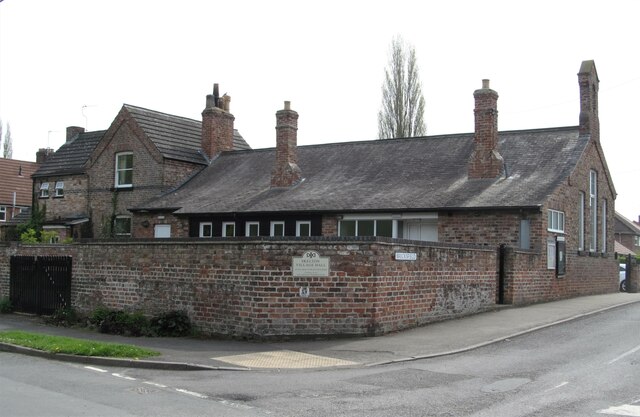
Image: © Gordon Hatton Taken: 17 Apr 2022
The OS map of 1910 shows this as the village school. Now a community hall.
Images are licensed for reuse under creativecommons.org/licenses/by-sa/2.0
Image Location
Latitude
54.001295
Longitude
-1.130839