Gated track from B4338 to reservoir
Introduction
The photograph on this page of Gated track from B4338 to reservoir by M J Roscoe as part of the Geograph project.
The Geograph project started in 2005 with the aim of publishing, organising and preserving representative images for every square kilometre of Great Britain, Ireland and the Isle of Man.

There are currently over 7.5m images from over 14,400 individuals and you can help contribute to the project by visiting https://www.geograph.org.uk
Gated track from B4338 to reservoir
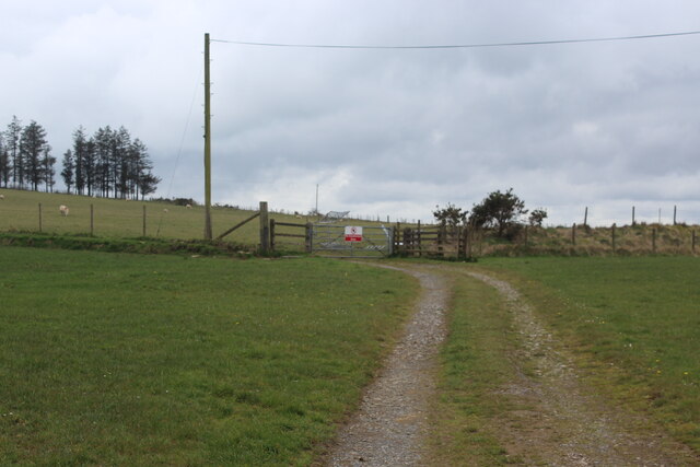
Image: © M J Roscoe Taken: 14 Apr 2022
The notice on the gate says, 'No unauthorised entry'. Beyond the gate the track veers to the left.
Images are licensed for reuse under creativecommons.org/licenses/by-sa/2.0
Image Location
Latitude
52.132779
Longitude
-4.253153