Canute mosaic, Heritage Way, Knutsford
Introduction
The photograph on this page of Canute mosaic, Heritage Way, Knutsford by Stephen Craven as part of the Geograph project.
The Geograph project started in 2005 with the aim of publishing, organising and preserving representative images for every square kilometre of Great Britain, Ireland and the Isle of Man.

There are currently over 7.5m images from over 14,400 individuals and you can help contribute to the project by visiting https://www.geograph.org.uk
Canute mosaic, Heritage Way, Knutsford
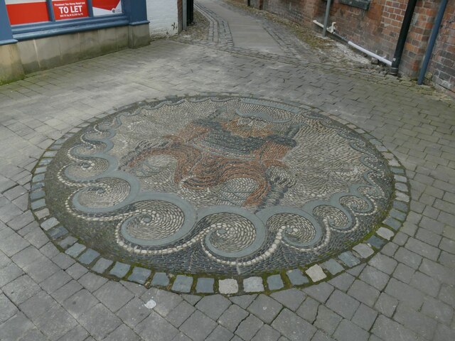
Image: © Stephen Craven Taken: 11 Apr 2022
The pebble mosaic in the pavement represents the 11th century king (also called Cnut) from whom the town's name is derived.
Images are licensed for reuse under creativecommons.org/licenses/by-sa/2.0
Image Location
Latitude
53.305014
Longitude
-2.37542