Railway junction south of Surrey Quays
Introduction
The photograph on this page of Railway junction south of Surrey Quays by David Martin as part of the Geograph project.
The Geograph project started in 2005 with the aim of publishing, organising and preserving representative images for every square kilometre of Great Britain, Ireland and the Isle of Man.

There are currently over 7.5m images from over 14,400 individuals and you can help contribute to the project by visiting https://www.geograph.org.uk
Railway junction south of Surrey Quays
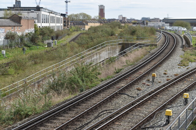
Image: © David Martin Taken: 10 Apr 2022
A complex area of tracks, where the former East London Line has been integrated into the Overground network.
Images are licensed for reuse under creativecommons.org/licenses/by-sa/2.0
Image Location
Latitude
51.489251
Longitude
-0.046131