Bridleway to Pengymill
Introduction
The photograph on this page of Bridleway to Pengymill by Trevor Harris as part of the Geograph project.
The Geograph project started in 2005 with the aim of publishing, organising and preserving representative images for every square kilometre of Great Britain, Ireland and the Isle of Man.

There are currently over 7.5m images from over 14,400 individuals and you can help contribute to the project by visiting https://www.geograph.org.uk
Bridleway to Pengymill
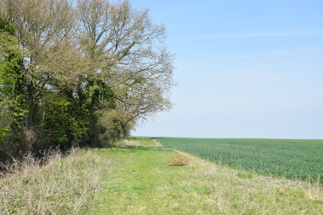
Image: © Trevor Harris Taken: 15 Apr 2022
Taken a short distance north east of Roxwell Road.
Images are licensed for reuse under creativecommons.org/licenses/by-sa/2.0
Image Location
Latitude
51.748954
Longitude
0.404757