Junction of Rock Mill Lane and Rugby Road, Leamington
Introduction
The photograph on this page of Junction of Rock Mill Lane and Rugby Road, Leamington by Robin Stott as part of the Geograph project.
The Geograph project started in 2005 with the aim of publishing, organising and preserving representative images for every square kilometre of Great Britain, Ireland and the Isle of Man.

There are currently over 7.5m images from over 14,400 individuals and you can help contribute to the project by visiting https://www.geograph.org.uk
Junction of Rock Mill Lane and Rugby Road, Leamington
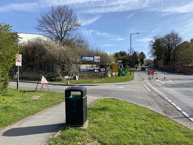
Image: © Robin Stott Taken: 10 Apr 2022
Rugby Road, right, is partially closed due to preparations for replacing a railway bridge ahead. IMG_3717
Images are licensed for reuse under creativecommons.org/licenses/by-sa/2.0
Image Location
Latitude
52.289867
Longitude
-1.557779