Corner of Upper Marlborough Road and Victoria Street, St Albans
Introduction
The photograph on this page of Corner of Upper Marlborough Road and Victoria Street, St Albans by A J Paxton as part of the Geograph project.
The Geograph project started in 2005 with the aim of publishing, organising and preserving representative images for every square kilometre of Great Britain, Ireland and the Isle of Man.

There are currently over 7.5m images from over 14,400 individuals and you can help contribute to the project by visiting https://www.geograph.org.uk
Corner of Upper Marlborough Road and Victoria Street, St Albans
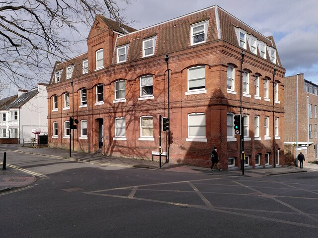
Image: © A J Paxton Taken: 9 Apr 2022
The large Victorian brick building at the corner, Saxon House, is now a hotel.
Images are licensed for reuse under creativecommons.org/licenses/by-sa/2.0
Image Location
Latitude
51.751241
Longitude
-0.334884