Approach to Bank Foot
Introduction
The photograph on this page of Approach to Bank Foot by Gordon Hatton as part of the Geograph project.
The Geograph project started in 2005 with the aim of publishing, organising and preserving representative images for every square kilometre of Great Britain, Ireland and the Isle of Man.

There are currently over 7.5m images from over 14,400 individuals and you can help contribute to the project by visiting https://www.geograph.org.uk
Approach to Bank Foot
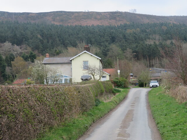
Image: © Gordon Hatton Taken: 13 Apr 2022
A dead end road for vehicles but also an ancient route which climbed on to the moor heading south towards Rudland Rigg and Kirkbymoorside. The house on the left stands by what was once a railway crossing, so presumably was a crossing keeper's house.
Images are licensed for reuse under creativecommons.org/licenses/by-sa/2.0
Image Location
Latitude
54.447309
Longitude
-1.08842