Byway and Wooded Area near South Carr Farm
Introduction
The photograph on this page of Byway and Wooded Area near South Carr Farm by Jonathan Clitheroe as part of the Geograph project.
The Geograph project started in 2005 with the aim of publishing, organising and preserving representative images for every square kilometre of Great Britain, Ireland and the Isle of Man.

There are currently over 7.5m images from over 14,400 individuals and you can help contribute to the project by visiting https://www.geograph.org.uk
Byway and Wooded Area near South Carr Farm
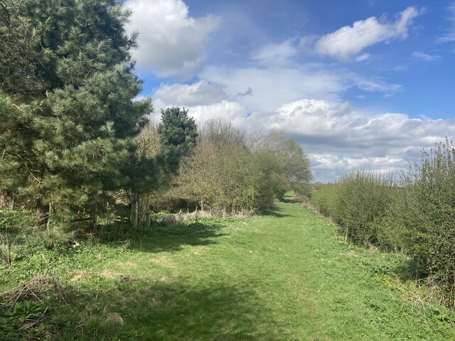
Image: © Jonathan Clitheroe Taken: 13 Apr 2022
This byway (connecting Elma Lane and Buskeyfield Lane) was locked from the southern entrance with a sign stating that [it] was an environmentally sensitive area. I jumped the gate to have a look and to take this photo.
Images are licensed for reuse under creativecommons.org/licenses/by-sa/2.0
Image Location
Latitude
53.242916
Longitude
-1.166207