Toll House, Sling
Introduction
The photograph on this page of Toll House, Sling by Mr Red as part of the Geograph project.
The Geograph project started in 2005 with the aim of publishing, organising and preserving representative images for every square kilometre of Great Britain, Ireland and the Isle of Man.

There are currently over 7.5m images from over 14,400 individuals and you can help contribute to the project by visiting https://www.geograph.org.uk
Toll House, Sling
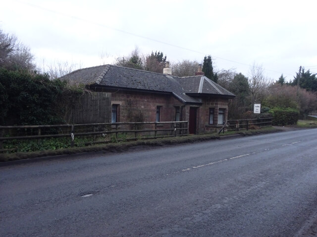
Image: © Mr Red Taken: 26 Jan 2022
Near the boundary with Milkwall, an important distinction in the Forest of Dean. People born within Dean Forest have rights unique to the enclave, notably to mine coal. On West side of the B4228. Originally served the Chepstow Turnpike Trust. Milestone Society National ID: GL.CFD
Images are licensed for reuse under creativecommons.org/licenses/by-sa/2.0
Image Location
Latitude
51.76693
Longitude
-2.608851