Stuart Road, York
Introduction
The photograph on this page of Stuart Road, York by Gordon Hatton as part of the Geograph project.
The Geograph project started in 2005 with the aim of publishing, organising and preserving representative images for every square kilometre of Great Britain, Ireland and the Isle of Man.

There are currently over 7.5m images from over 14,400 individuals and you can help contribute to the project by visiting https://www.geograph.org.uk
Stuart Road, York
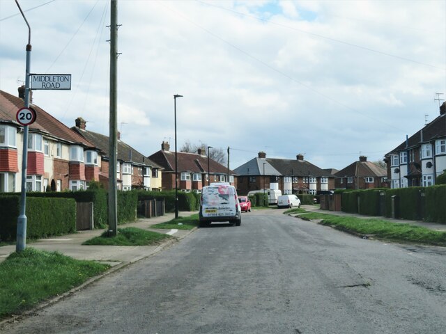
Image: © Gordon Hatton Taken: 9 Apr 2022
Looking south along Stuart Road at its junction with Middleton Road. Housing here first appears on the map of 1952, but the design could be anything from the mid thirties onwards.
Images are licensed for reuse under creativecommons.org/licenses/by-sa/2.0
Image Location
Latitude
53.947221
Longitude
-1.123126