Footpath between Thorne Road and Bristol Grove
Introduction
The photograph on this page of Footpath between Thorne Road and Bristol Grove by Christine Johnstone as part of the Geograph project.
The Geograph project started in 2005 with the aim of publishing, organising and preserving representative images for every square kilometre of Great Britain, Ireland and the Isle of Man.

There are currently over 7.5m images from over 14,400 individuals and you can help contribute to the project by visiting https://www.geograph.org.uk
Footpath between Thorne Road and Bristol Grove
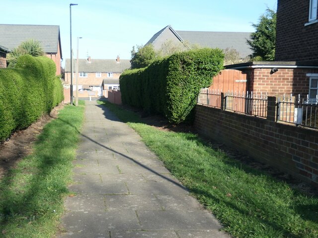
Image: © Christine Johnstone Taken: 9 Apr 2022
This part of the Wheatley Park estate was laid out in the 1940s, and the houses built in the 1950s.
Images are licensed for reuse under creativecommons.org/licenses/by-sa/2.0
Image Location
Latitude
53.536147
Longitude
-1.10599