Stone Stile, Painswick
Introduction
The photograph on this page of Stone Stile, Painswick by Mr Red as part of the Geograph project.
The Geograph project started in 2005 with the aim of publishing, organising and preserving representative images for every square kilometre of Great Britain, Ireland and the Isle of Man.

There are currently over 7.5m images from over 14,400 individuals and you can help contribute to the project by visiting https://www.geograph.org.uk
Stone Stile, Painswick
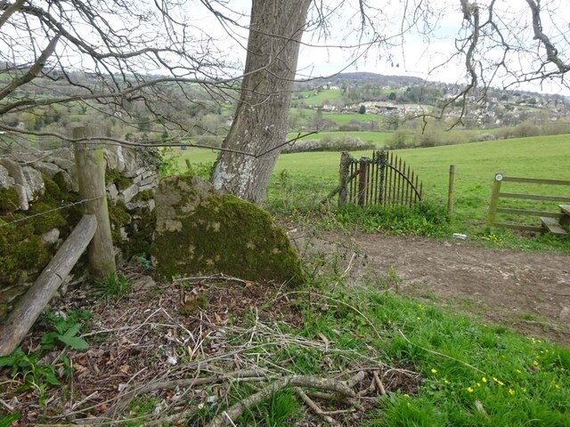
Image: © Mr Red Taken: 11 Apr 2022
Above Sheep Hpouse, on the junction of Gloucestershire footpaths MPA43 & MPA42, MPA43 used to continue South to Seagrims, but has been rescinded. This is looking Northerly, the view South is Image
Images are licensed for reuse under creativecommons.org/licenses/by-sa/2.0
Image Location
Latitude
51.774653
Longitude
-2.202832