Farmland on Dunlop's north edge
Introduction
The photograph on this page of Farmland on Dunlop's north edge by Alec MacKinnon as part of the Geograph project.
The Geograph project started in 2005 with the aim of publishing, organising and preserving representative images for every square kilometre of Great Britain, Ireland and the Isle of Man.

There are currently over 7.5m images from over 14,400 individuals and you can help contribute to the project by visiting https://www.geograph.org.uk
Farmland on Dunlop's north edge
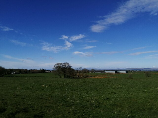
Image: © Alec MacKinnon Taken: 8 Apr 2022
The picture looks west across the fields to the farm at Hapland, from the minor road that arrives at Dunlop from the north.
Images are licensed for reuse under creativecommons.org/licenses/by-sa/2.0
Image Location
Latitude
55.716173
Longitude
-4.529005