Oakhill Road, Wheatley Hills, Doncaster
Introduction
The photograph on this page of Oakhill Road, Wheatley Hills, Doncaster by Christine Johnstone as part of the Geograph project.
The Geograph project started in 2005 with the aim of publishing, organising and preserving representative images for every square kilometre of Great Britain, Ireland and the Isle of Man.

There are currently over 7.5m images from over 14,400 individuals and you can help contribute to the project by visiting https://www.geograph.org.uk
Oakhill Road, Wheatley Hills, Doncaster
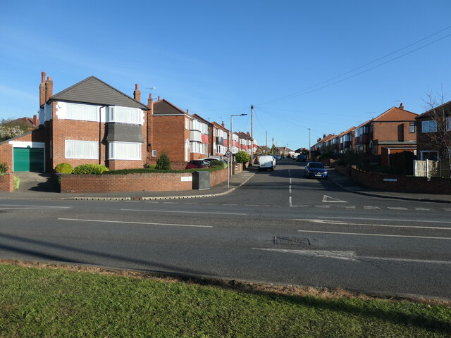
Image: © Christine Johnstone Taken: 9 Apr 2022
In 1929 the bottom end of this road was part of a sand and gravel quarry. The road was laid out by 1938, but the houses were still being built in 1948.
Images are licensed for reuse under creativecommons.org/licenses/by-sa/2.0
Image Location
Latitude
53.535007
Longitude
-1.097866