Swallow Brae and Leapmoor Forest
Introduction
The photograph on this page of Swallow Brae and Leapmoor Forest by Thomas Nugent as part of the Geograph project.
The Geograph project started in 2005 with the aim of publishing, organising and preserving representative images for every square kilometre of Great Britain, Ireland and the Isle of Man.

There are currently over 7.5m images from over 14,400 individuals and you can help contribute to the project by visiting https://www.geograph.org.uk
Swallow Brae and Leapmoor Forest
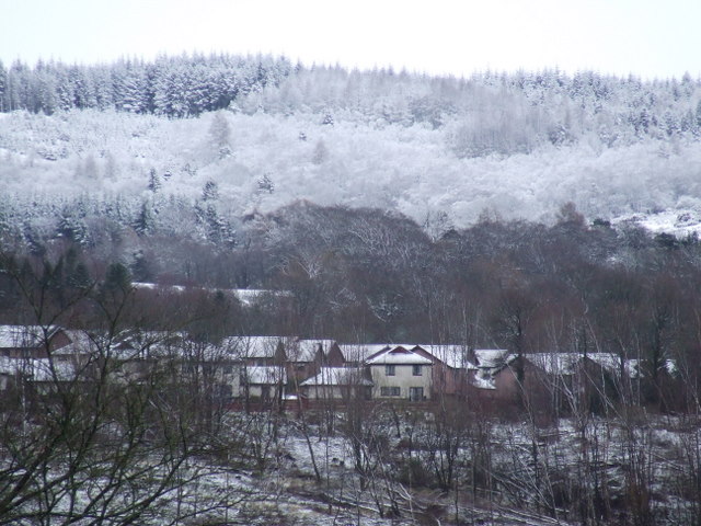
Image: © Thomas Nugent Taken: 3 Mar 2008
Since the trees were harvested at Bridgend last year, Swallow Brae can now be seen from Ardgowan Estate. Snow covered Leapmoor Forest is in the distance.
Images are licensed for reuse under creativecommons.org/licenses/by-sa/2.0
Image Location


Leaflet Map data © OpenStreetMap
Latitude
55.910925
Longitude
-4.858539