Farm buildings at Oakbank
Introduction
The photograph on this page of Farm buildings at Oakbank by Roger Templeman as part of the Geograph project.
The Geograph project started in 2005 with the aim of publishing, organising and preserving representative images for every square kilometre of Great Britain, Ireland and the Isle of Man.

There are currently over 7.5m images from over 14,400 individuals and you can help contribute to the project by visiting https://www.geograph.org.uk
Farm buildings at Oakbank
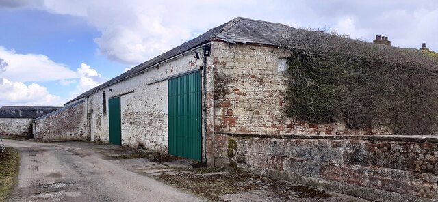
Image: © Roger Templeman Taken: 8 Apr 2022
There is an Ordnance Survey benchmark Image on the corner, road face, of the nearest building at the junction with stone wall
Images are licensed for reuse under creativecommons.org/licenses/by-sa/2.0
Image Location
Latitude
55.022842
Longitude
-2.990225