The tip of South Quay, Hayle Harbour
Introduction
The photograph on this page of The tip of South Quay, Hayle Harbour by Chris Allen as part of the Geograph project.
The Geograph project started in 2005 with the aim of publishing, organising and preserving representative images for every square kilometre of Great Britain, Ireland and the Isle of Man.

There are currently over 7.5m images from over 14,400 individuals and you can help contribute to the project by visiting https://www.geograph.org.uk
The tip of South Quay, Hayle Harbour
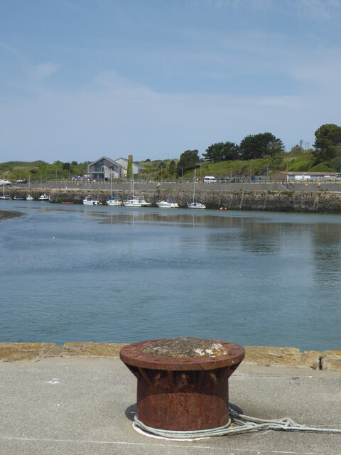
Image: © Chris Allen Taken: 17 May 2018
North Quay is seen across he harbour. East Quay is hidden to the right. The quays are Listed Grade II.
Images are licensed for reuse under creativecommons.org/licenses/by-sa/2.0
Image Location
Latitude
50.187791
Longitude
-5.42504