Taking the waters?
Introduction
The photograph on this page of Taking the waters? by Neil Owen as part of the Geograph project.
The Geograph project started in 2005 with the aim of publishing, organising and preserving representative images for every square kilometre of Great Britain, Ireland and the Isle of Man.

There are currently over 7.5m images from over 14,400 individuals and you can help contribute to the project by visiting https://www.geograph.org.uk
Taking the waters?
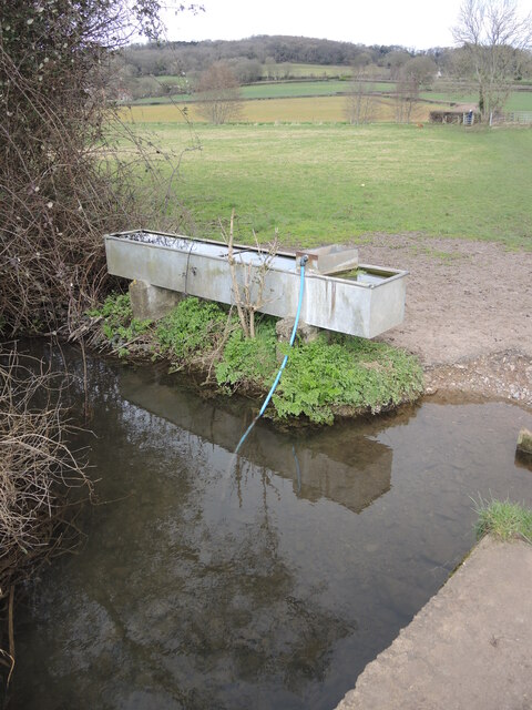
Image: © Neil Owen Taken: 10 Mar 2022
A trough seems to have a simple way to keep itself topped up.
Images are licensed for reuse under creativecommons.org/licenses/by-sa/2.0
Image Location
Latitude
51.438887
Longitude
-2.741458