Duneland footpath by Mawdlam on Wales Coast Path relief section
Introduction
The photograph on this page of Duneland footpath by Mawdlam on Wales Coast Path relief section by eswales as part of the Geograph project.
The Geograph project started in 2005 with the aim of publishing, organising and preserving representative images for every square kilometre of Great Britain, Ireland and the Isle of Man.

There are currently over 7.5m images from over 14,400 individuals and you can help contribute to the project by visiting https://www.geograph.org.uk
Duneland footpath by Mawdlam on Wales Coast Path relief section
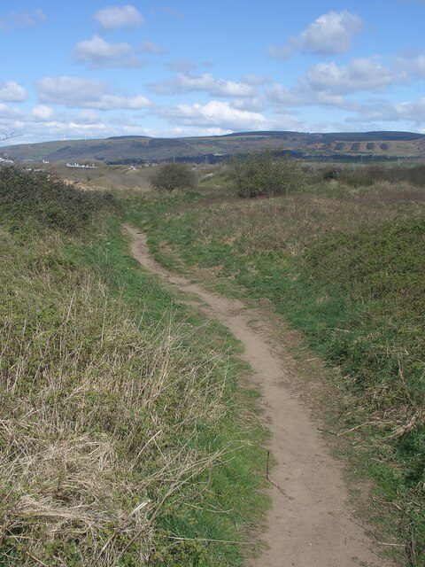
Image: © eswales Taken: 1 Apr 2022
This is one of a number of paths in a relief section of the Wales Coast Path followed when the route between Kenfig Burrows and Margam via Margam Moors is unusable because of flooding.
Images are licensed for reuse under creativecommons.org/licenses/by-sa/2.0
Image Location
Latitude
51.524615
Longitude
-3.722329