Junction of Harehills Lane and Strathmore Drive
Introduction
The photograph on this page of Junction of Harehills Lane and Strathmore Drive by Stephen Craven as part of the Geograph project.
The Geograph project started in 2005 with the aim of publishing, organising and preserving representative images for every square kilometre of Great Britain, Ireland and the Isle of Man.

There are currently over 7.5m images from over 14,400 individuals and you can help contribute to the project by visiting https://www.geograph.org.uk
Junction of Harehills Lane and Strathmore Drive
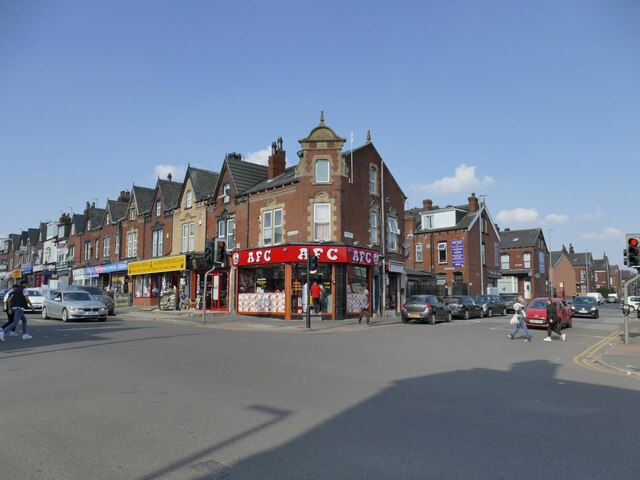
Image: © Stephen Craven Taken: 26 Mar 2022
Harehills Lane is 3.5km long, running through some of the more deprived parts of east Leeds, and has many rows of shops along its route. The building on the corner (with a fried chicken takeaway on the ground floor) bears the date 1904.
Images are licensed for reuse under creativecommons.org/licenses/by-sa/2.0
Image Location
Latitude
53.810923
Longitude
-1.511413