Looking along Horsleyhope Burn
Introduction
The photograph on this page of Looking along Horsleyhope Burn by Robert Graham as part of the Geograph project.
The Geograph project started in 2005 with the aim of publishing, organising and preserving representative images for every square kilometre of Great Britain, Ireland and the Isle of Man.

There are currently over 7.5m images from over 14,400 individuals and you can help contribute to the project by visiting https://www.geograph.org.uk
Looking along Horsleyhope Burn
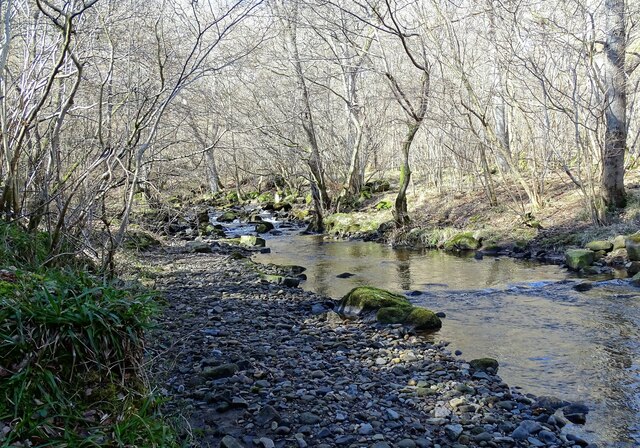
Image: © Robert Graham Taken: 14 Mar 2022
The burn runs through the woods here at Comb Bridges, in Muggleswick Woods Nature Reserve.
Images are licensed for reuse under creativecommons.org/licenses/by-sa/2.0
Image Location
Latitude
54.834621
Longitude
-1.907338