Maidenhill Lodge
Introduction
The photograph on this page of Maidenhill Lodge by Roger Templeman as part of the Geograph project.
The Geograph project started in 2005 with the aim of publishing, organising and preserving representative images for every square kilometre of Great Britain, Ireland and the Isle of Man.

There are currently over 7.5m images from over 14,400 individuals and you can help contribute to the project by visiting https://www.geograph.org.uk
Maidenhill Lodge
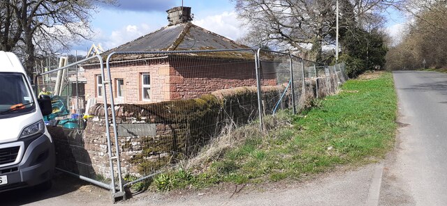
Image: © Roger Templeman Taken: 1 Apr 2022
Ordnance Survey documents indicate that a benchmark was levelled at 225.487m above Newlyn Datum in 1973 on a gatepost at the corner of the wall right of the parked van.
Images are licensed for reuse under creativecommons.org/licenses/by-sa/2.0
Image Location
Latitude
54.686998
Longitude
-2.739263