Public footpath 1542 to Rusper Road
Introduction
The photograph on this page of Public footpath 1542 to Rusper Road by Robin Webster as part of the Geograph project.
The Geograph project started in 2005 with the aim of publishing, organising and preserving representative images for every square kilometre of Great Britain, Ireland and the Isle of Man.

There are currently over 7.5m images from over 14,400 individuals and you can help contribute to the project by visiting https://www.geograph.org.uk
Public footpath 1542 to Rusper Road
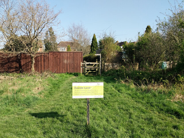
Image: © Robin Webster Taken: 26 Mar 2022
The sign, although correctly calling the land private, is out of date regarding the prohibition on straying off the public footpath.
Images are licensed for reuse under creativecommons.org/licenses/by-sa/2.0
Image Location
Latitude
51.121233
Longitude
-0.218886