East Leeds Health Centre, Osmondthorpe Lane
Introduction
The photograph on this page of East Leeds Health Centre, Osmondthorpe Lane by Stephen Craven as part of the Geograph project.
The Geograph project started in 2005 with the aim of publishing, organising and preserving representative images for every square kilometre of Great Britain, Ireland and the Isle of Man.

There are currently over 7.5m images from over 14,400 individuals and you can help contribute to the project by visiting https://www.geograph.org.uk
East Leeds Health Centre, Osmondthorpe Lane
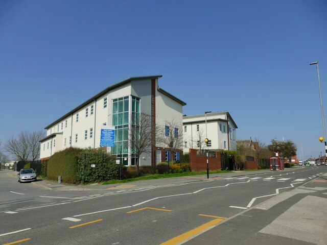
Image: © Stephen Craven Taken: 26 Mar 2022
There is a zebra crossing outside. What is now a side road (left of photo) was in the 19th century a tramway carrying coal from Osmondthorpe colliery to York Road ironworks.
Images are licensed for reuse under creativecommons.org/licenses/by-sa/2.0
Image Location
Latitude
53.798555
Longitude
-1.498348