Ricksey Park - Somerton
Introduction
The photograph on this page of Ricksey Park - Somerton by Barry King as part of the Geograph project.
The Geograph project started in 2005 with the aim of publishing, organising and preserving representative images for every square kilometre of Great Britain, Ireland and the Isle of Man.

There are currently over 7.5m images from over 14,400 individuals and you can help contribute to the project by visiting https://www.geograph.org.uk
Ricksey Park - Somerton
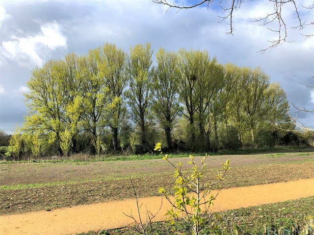
Image: © Barry King Taken: 12 Apr 2021
Park recently seeded (2021) for community use by developers of Patch Meadows Housing Estate. Trees flourish as they are next to the Mill Stream that winds its way through Somerton to join the River Cary. Ricksey or Wrexy or Rixsey lane borders the west edge of this open space.
Images are licensed for reuse under creativecommons.org/licenses/by-sa/2.0
Image Location
Latitude
51.050764
Longitude
-2.745798