The Gospel Hall
Introduction
The photograph on this page of The Gospel Hall by philandju as part of the Geograph project.
The Geograph project started in 2005 with the aim of publishing, organising and preserving representative images for every square kilometre of Great Britain, Ireland and the Isle of Man.

There are currently over 7.5m images from over 14,400 individuals and you can help contribute to the project by visiting https://www.geograph.org.uk
The Gospel Hall
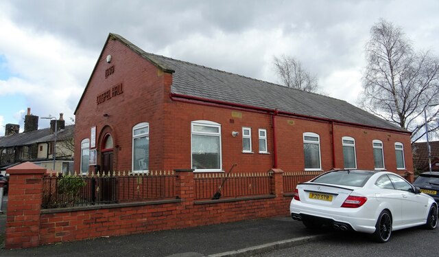
Image: © philandju Taken: 1 Apr 2022
An evangelical free church on Maxwell Street, Astley Bridge, opened in 1939.
Images are licensed for reuse under creativecommons.org/licenses/by-sa/2.0
Image Location


Leaflet Map data © OpenStreetMap
Latitude
53.602155
Longitude
-2.434267