New Developments along the Bingley By-pass
Introduction
The photograph on this page of New Developments along the Bingley By-pass by Kevin Waterhouse as part of the Geograph project.
The Geograph project started in 2005 with the aim of publishing, organising and preserving representative images for every square kilometre of Great Britain, Ireland and the Isle of Man.

There are currently over 7.5m images from over 14,400 individuals and you can help contribute to the project by visiting https://www.geograph.org.uk
New Developments along the Bingley By-pass
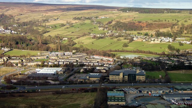
Image: © Kevin Waterhouse Taken: 15 Dec 2005
The A650 by-pass has generated much development as viewed from Druids Rock on the St Ives Estate. With the growth of saplings such views are harder to get in 2022
Images are licensed for reuse under creativecommons.org/licenses/by-sa/2.0
Image Location
Latitude
53.862968
Longitude
-1.852472