Roadway and public footpath on the edge of Bestwood Village
Introduction
The photograph on this page of Roadway and public footpath on the edge of Bestwood Village by Jonathan Thacker as part of the Geograph project.
The Geograph project started in 2005 with the aim of publishing, organising and preserving representative images for every square kilometre of Great Britain, Ireland and the Isle of Man.

There are currently over 7.5m images from over 14,400 individuals and you can help contribute to the project by visiting https://www.geograph.org.uk
Roadway and public footpath on the edge of Bestwood Village
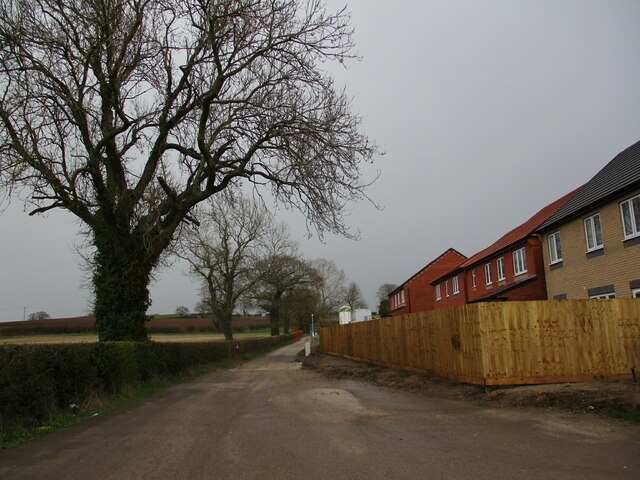
Image: © Jonathan Thacker Taken: 31 Mar 2022
New housing under construction on the right.
Images are licensed for reuse under creativecommons.org/licenses/by-sa/2.0
Image Location
Latitude
53.029406
Longitude
-1.176891