Netham and the flats
Introduction
The photograph on this page of Netham and the flats by Neil Owen as part of the Geograph project.
The Geograph project started in 2005 with the aim of publishing, organising and preserving representative images for every square kilometre of Great Britain, Ireland and the Isle of Man.

There are currently over 7.5m images from over 14,400 individuals and you can help contribute to the project by visiting https://www.geograph.org.uk
Netham and the flats
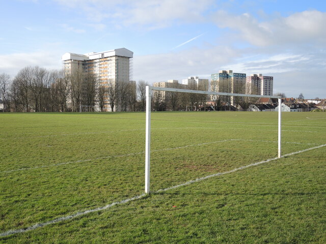
Image: © Neil Owen Taken: 2 Feb 2022
Netham recreation ground has been part of the community since the old factories were cleared in the 1950s. Barton House looks over the various sporting arenas.
Images are licensed for reuse under creativecommons.org/licenses/by-sa/2.0
Image Location
Latitude
51.453032
Longitude
-2.557906