The Cleveland Road Development in Wolverhampton
Introduction
The photograph on this page of The Cleveland Road Development in Wolverhampton by Roger Kidd as part of the Geograph project.
The Geograph project started in 2005 with the aim of publishing, organising and preserving representative images for every square kilometre of Great Britain, Ireland and the Isle of Man.

There are currently over 7.5m images from over 14,400 individuals and you can help contribute to the project by visiting https://www.geograph.org.uk
The Cleveland Road Development in Wolverhampton
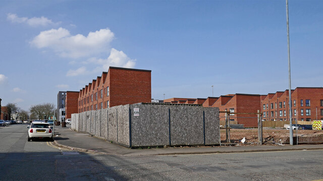
Image: © Roger Kidd Taken: 22 Mar 2022
This substantal development is on the site formerly occupied by the Cleveland Road Bus Depot. The "city gateway" scheme has been partly funded by Homes England, Black Country Local Enterprise Partnership, and YMCA Black Country Group. Hospital Street leads off to the right, towards Bilston Road.
Images are licensed for reuse under creativecommons.org/licenses/by-sa/2.0
Image Location
Latitude
52.582088
Longitude
-2.120679