Lock keeper's house
Introduction
The photograph on this page of Lock keeper's house by Thomas Nugent as part of the Geograph project.
The Geograph project started in 2005 with the aim of publishing, organising and preserving representative images for every square kilometre of Great Britain, Ireland and the Isle of Man.

There are currently over 7.5m images from over 14,400 individuals and you can help contribute to the project by visiting https://www.geograph.org.uk
Lock keeper's house
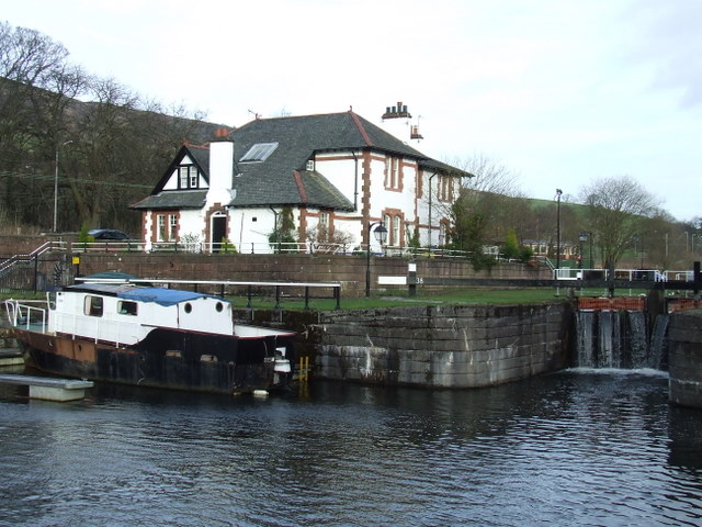
Image: © Thomas Nugent Taken: 2 Mar 2008
At lock 38 between the upper and middle basins on the Forth & Clyde canal at Bowling.
Images are licensed for reuse under creativecommons.org/licenses/by-sa/2.0
Image Location
Latitude
55.929945
Longitude
-4.478719