Access on to National Cycle Route 75
Introduction
The photograph on this page of Access on to National Cycle Route 75 by Richard Sutcliffe as part of the Geograph project.
The Geograph project started in 2005 with the aim of publishing, organising and preserving representative images for every square kilometre of Great Britain, Ireland and the Isle of Man.

There are currently over 7.5m images from over 14,400 individuals and you can help contribute to the project by visiting https://www.geograph.org.uk
Access on to National Cycle Route 75
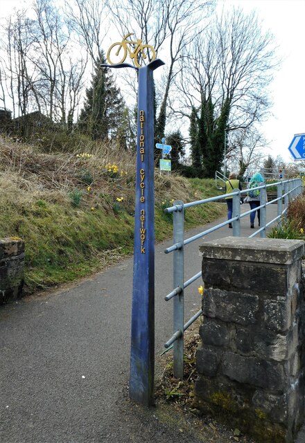
Image: © Richard Sutcliffe Taken: 25 Mar 2022
The path joins National Cycle Route 75, which follows the old railway line.
Images are licensed for reuse under creativecommons.org/licenses/by-sa/2.0
Image Location
Latitude
55.857738
Longitude
-4.580867