National Cycle Network Route 7
Introduction
The photograph on this page of National Cycle Network Route 7 by Thomas Nugent as part of the Geograph project.
The Geograph project started in 2005 with the aim of publishing, organising and preserving representative images for every square kilometre of Great Britain, Ireland and the Isle of Man.

There are currently over 7.5m images from over 14,400 individuals and you can help contribute to the project by visiting https://www.geograph.org.uk
National Cycle Network Route 7
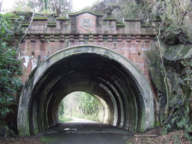
Image: © Thomas Nugent Taken: 2 Mar 2008
Eastern portal of the short tunnel on the former Lanarkshire & Dunbartonshire Railway line through Bowling. The path leads from the SECC at Glasgow to Loch Lomond. See also Image
Images are licensed for reuse under creativecommons.org/licenses/by-sa/2.0
Image Location
Latitude
55.931976
Longitude
-4.493899