Pasture above Gellilwyd
Introduction
The photograph on this page of Pasture above Gellilwyd by John Lucas as part of the Geograph project.
The Geograph project started in 2005 with the aim of publishing, organising and preserving representative images for every square kilometre of Great Britain, Ireland and the Isle of Man.

There are currently over 7.5m images from over 14,400 individuals and you can help contribute to the project by visiting https://www.geograph.org.uk
Pasture above Gellilwyd
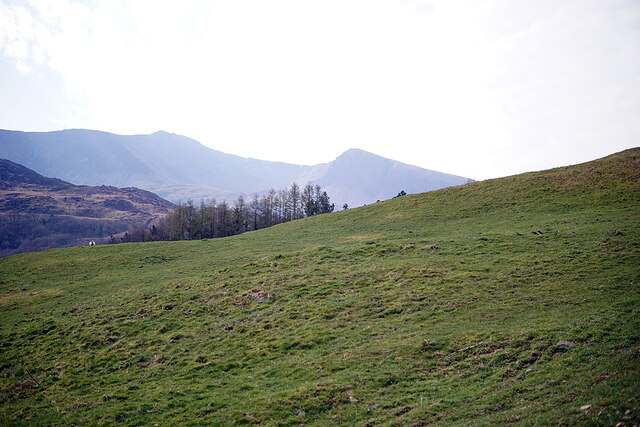
Image: © John Lucas Taken: 24 Mar 2022
This is all access land. Cadair Idris in the distance.
Images are licensed for reuse under creativecommons.org/licenses/by-sa/2.0
Image Location
Latitude
52.730704
Longitude
-3.917594