Steps to field path, Longbaulk farm
Introduction
The photograph on this page of Steps to field path, Longbaulk farm by Jim Barton as part of the Geograph project.
The Geograph project started in 2005 with the aim of publishing, organising and preserving representative images for every square kilometre of Great Britain, Ireland and the Isle of Man.

There are currently over 7.5m images from over 14,400 individuals and you can help contribute to the project by visiting https://www.geograph.org.uk
Steps to field path, Longbaulk farm
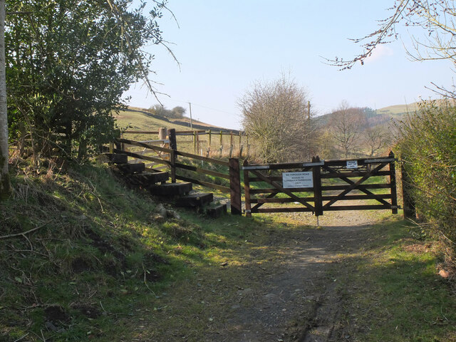
Image: © Jim Barton Taken: 23 Mar 2022
The path diverts into the field to head to Martinshouse on a route once known as the Fishermen's Walk (from the Nan Lyle Walk leaflet, Ian W Landles).
Images are licensed for reuse under creativecommons.org/licenses/by-sa/2.0
Image Location
Latitude
55.414267
Longitude
-2.809495