Freehold Street, Loughborough
Introduction
The photograph on this page of Freehold Street, Loughborough by Stephen McKay as part of the Geograph project.
The Geograph project started in 2005 with the aim of publishing, organising and preserving representative images for every square kilometre of Great Britain, Ireland and the Isle of Man.

There are currently over 7.5m images from over 14,400 individuals and you can help contribute to the project by visiting https://www.geograph.org.uk
Freehold Street, Loughborough
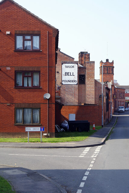
Image: © Stephen McKay Taken: 23 Mar 2022
Peel Drive leads off to the left and ahead is a wall sign for the Taylor Bell Foundry - this is not a historical relic, the foundry is still very much operational.
Images are licensed for reuse under creativecommons.org/licenses/by-sa/2.0
Image Location
Latitude
52.772991
Longitude
-1.198336